Punktwolke
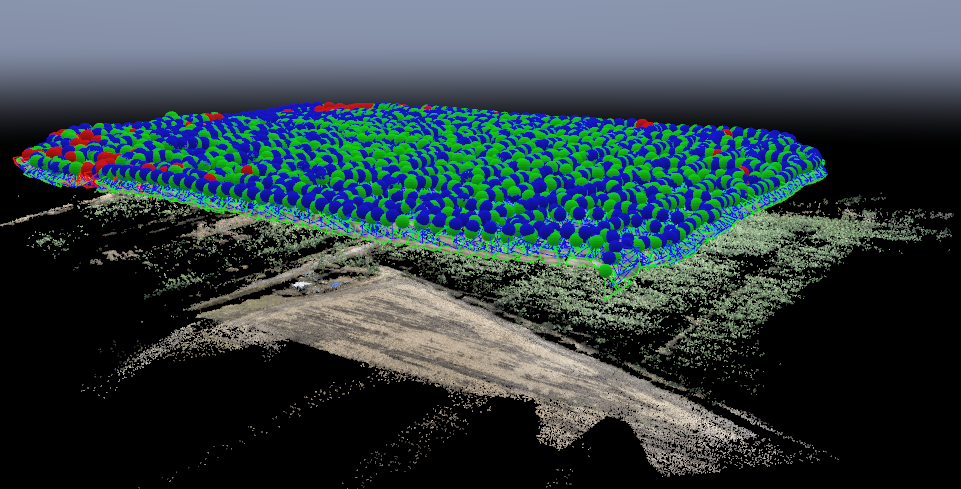
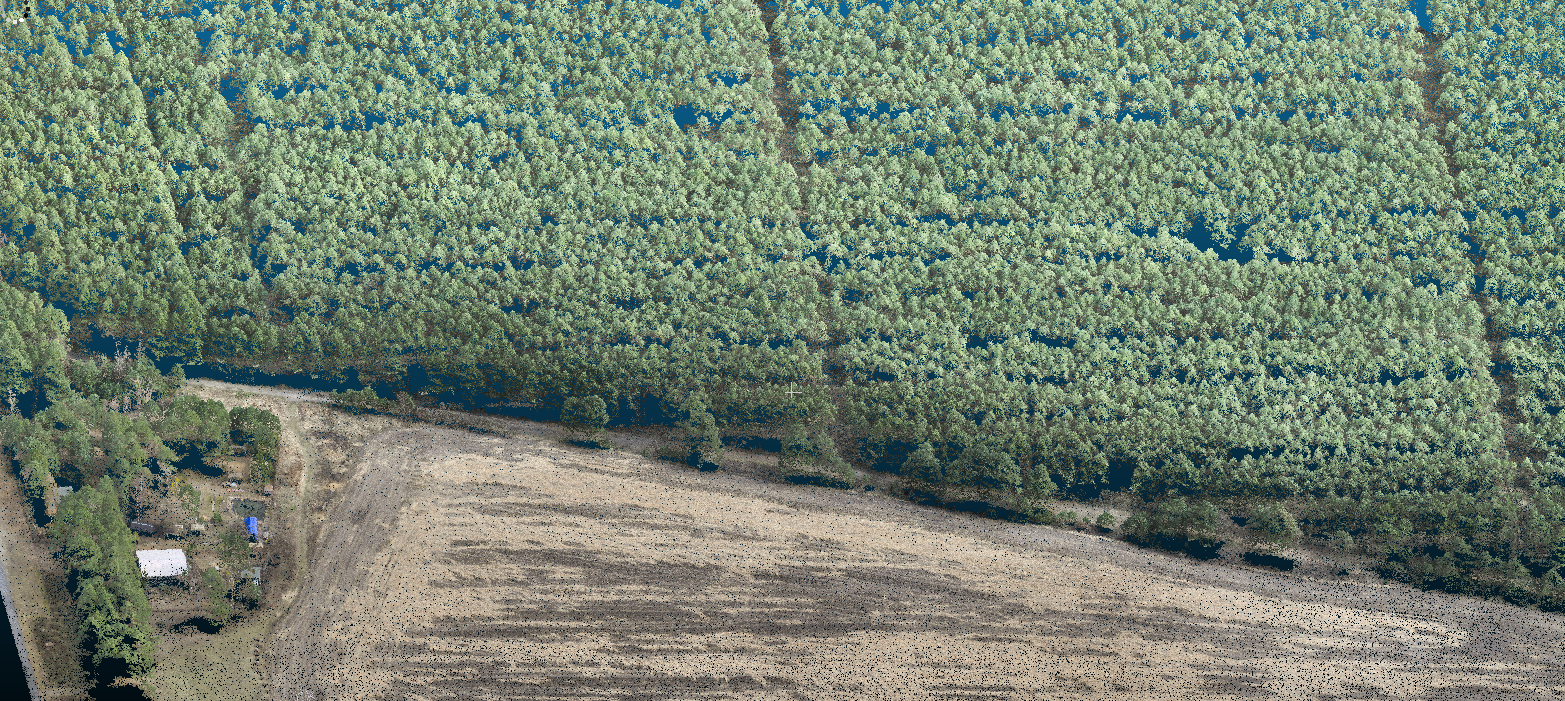
Inventur von Landnutzung und Landnutzungsarten – vom Flug zur 3D-Punkwolke
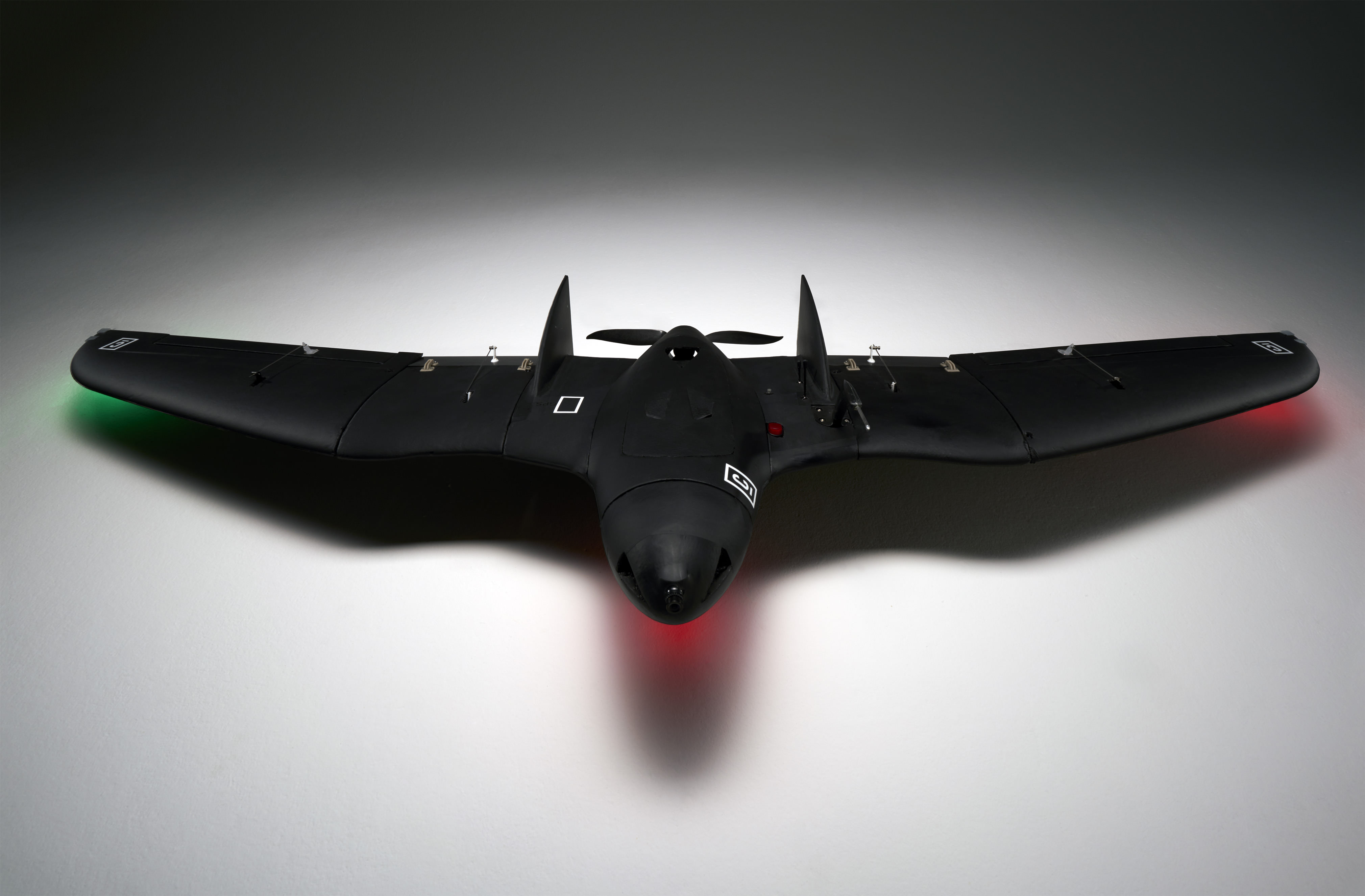
In Zusammenarbeit mit unseren Kollegen von Sky Lab Institute gelang es uns [mit dem Blackbird], eine optimierte Flugplanung zu erstellen, wodurch eine höhere räumliche Auflösung sowie eine erhöhte Bildüberlappung erzielt werden konnte. Die erhöhte Aufnahmequalität liefert als Ergebnis eine qualitativ hochwertige Punktwolke aus der digitale Gelände- und Höhenmodelle errechnet werden können. In weiteren Schritten ist es Sky Lab Institute möglich, hochauflösende Orthophotos sowie verschiedenste Parameter von Landnutzungs- und Kulturaten abzuleiten: Flächen der jeweiligen Landnutzung/Kulturart, Baumzahlen, Kronenflächen, Baumhöhen beziehungsweise Höhe der Vegetation sowie diverse Vitalitätsparameter. [Weitere technische Details zu unserem Fluggerät – Black Bird – mit dem die Verbesserung]
In collaboration with our colleagues from Sky Lab Institute, we achieved a milestone [using the Blackbird] in optimizing flight plans resulting in increased spatial resolution as well as in increased picture overlap. This optimization leads to increased quality of point clouds, high quality digital terrain models, digital height models as well as optimized Orthophotos. These precise data and models allow for high quality land use assessments, e.g. for forests and agricultural crops. Based on these data and models, Sky Lab Institute is capable of calculating with high accuracy: the extent of land uses and crop species, the number of trees, the height of trees (and plants in general), leave area indices as well as a variety of parameters indicating the vegetation´s vitality.